ORDNANCE SURVEY PAVILION | STUDIO MUTT
Lake District, England
The Lakes Ignite 2018 open call asked for projects that would celebrate the Lake District as a Cultural Landscape. We were interested in how humans have interacted with the landscape in various ways, both physically and culturally.
We became interested in the iconic Ordnance Survey maps: something that is at once prosaic and functional, whilst also being absorbed culturally and in some ways loaded with personal emotive content. As an artifact, the OS map data is perfectly ordinary. But, it has been a conduit for our physical human relationship to the landscape: the geographical conditions as well as the man-made constructions across it.
Through our research, we found that the everyday Ordnance Survey map had an extraordinary history. Beginning with military roots where, in the wake of the Jacobite Revolution in 1745, maps were commissioned to help track down dissenters north of the wall.
Our project is focused on one specific period of time: the re-triangulation of Great Britain between 1935-1962. The entire landscape of Britain was remapped manually, and mostly by men in tweed – an absurd concept in our GPS-enabled, satellite-mapped world.
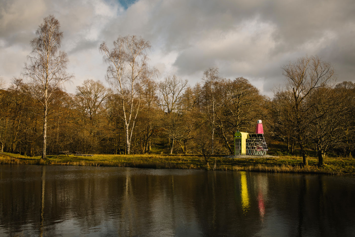
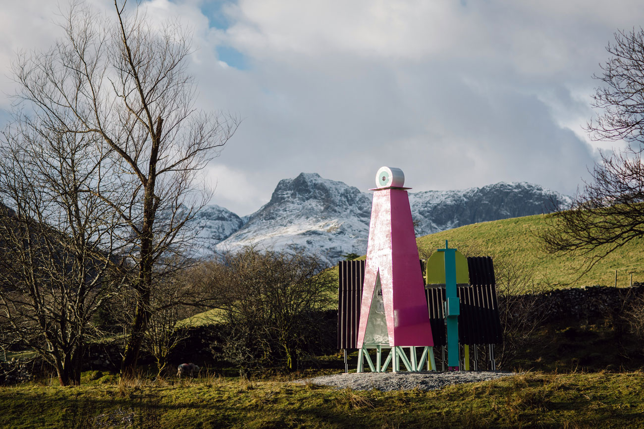
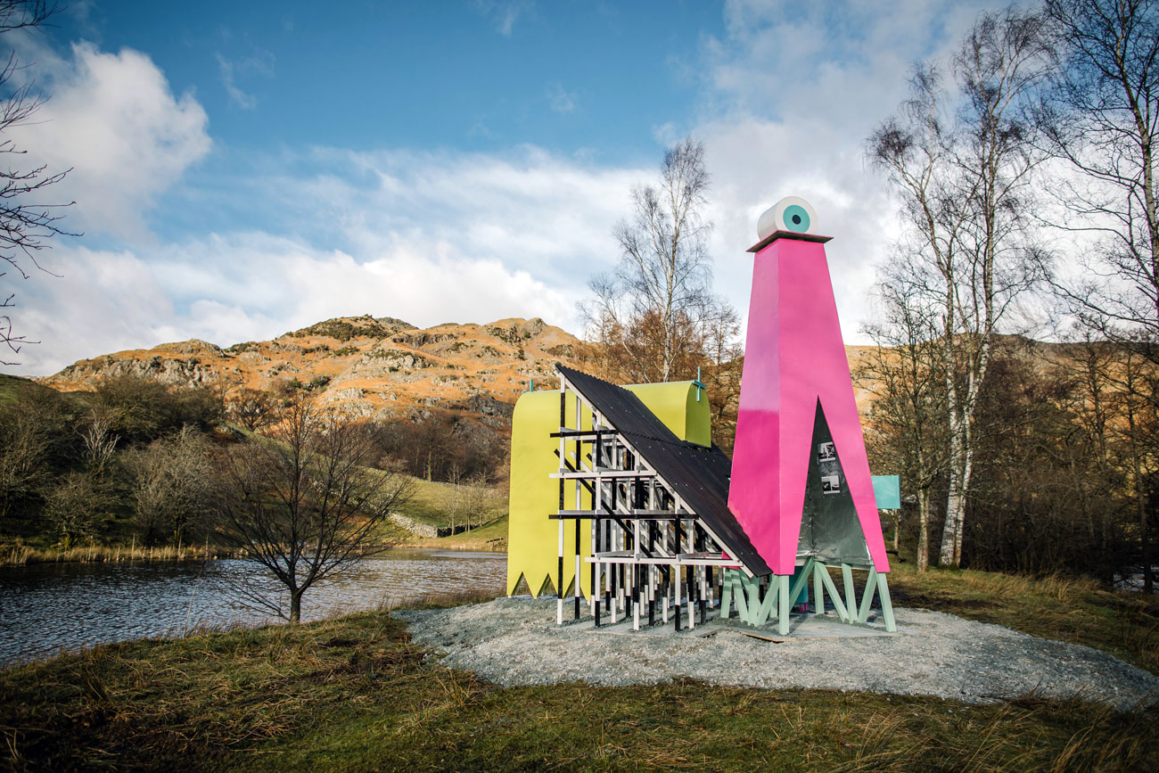
The installation synthesizes elements from this narrative of re-triangulation through a collage of scenes and characters that form a peculiar pavilion, dedicated to the Ordnance Survey. Each element references a specific element in the story of the OS map, whether this is a 3D expression of the maps’ iconic graphics, or the apparatus used by the intrepid surveyors to create it.
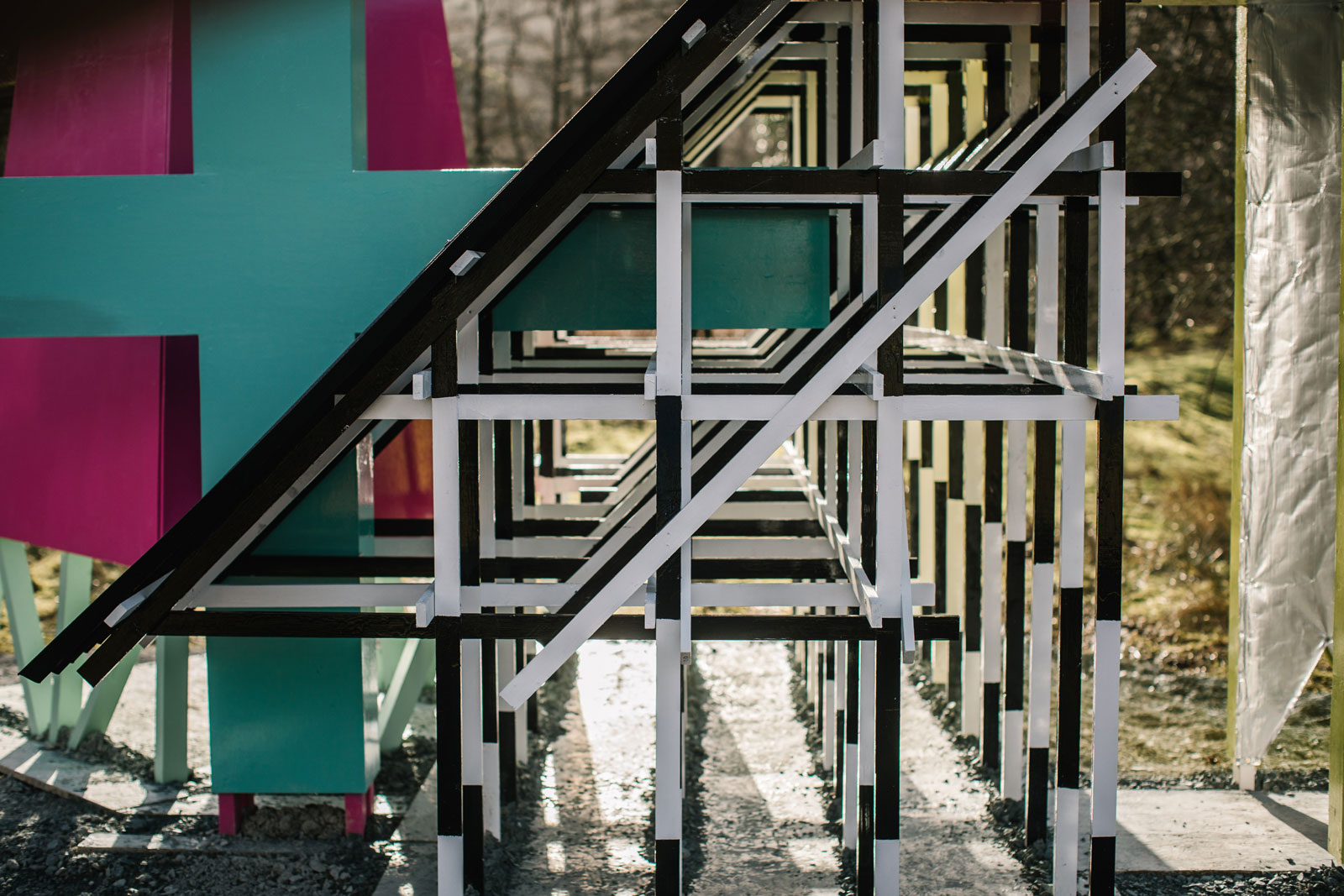
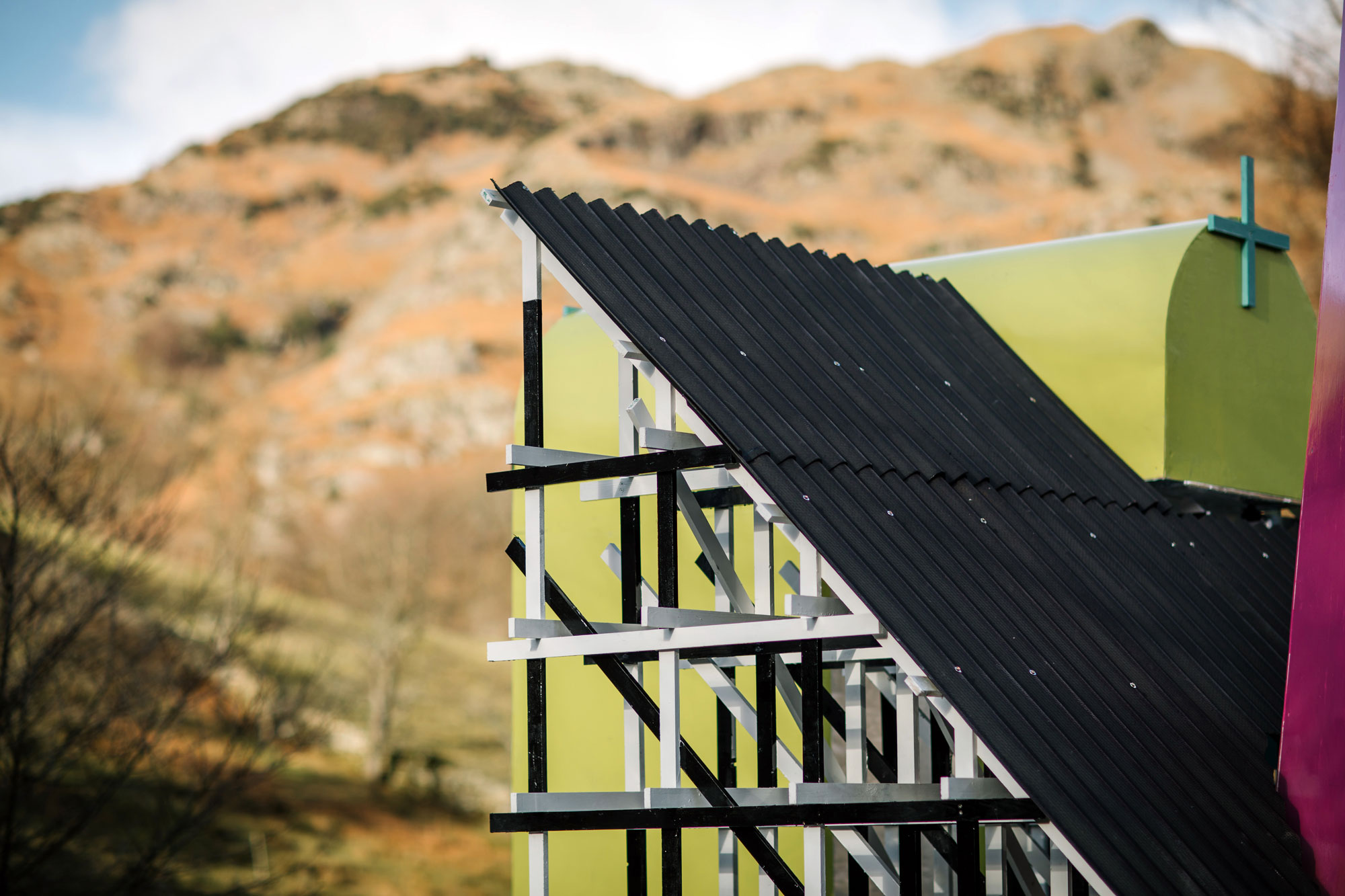
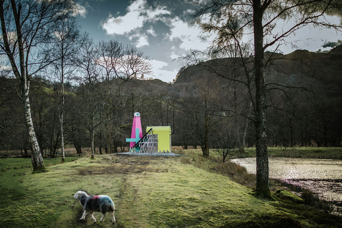
The idea was to not only create an assemblage of OS references but to also create an intriguing and characterful structure which sat boldly in the landscape, with the presence similar to a small isolated chapel – stranded within the vast rugged landscape. We like to imagine it as part of a network of the lone structures dotted through the landscape.
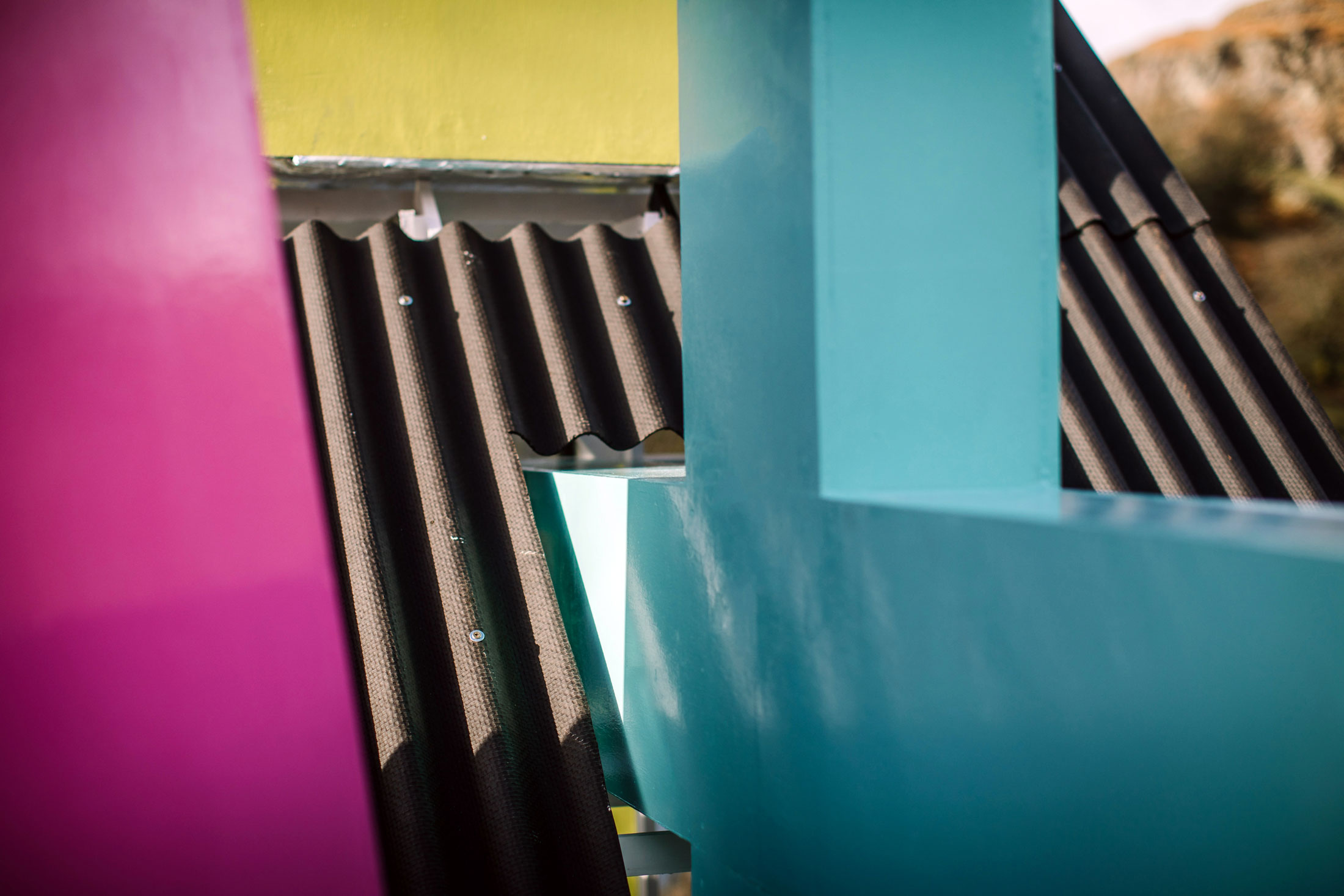
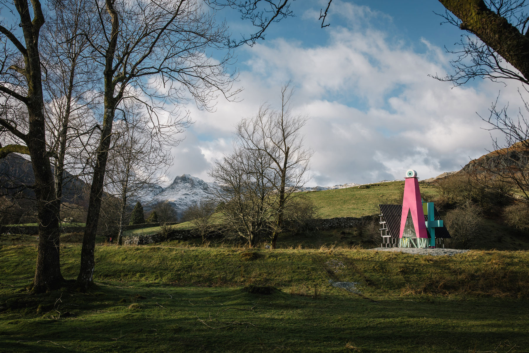
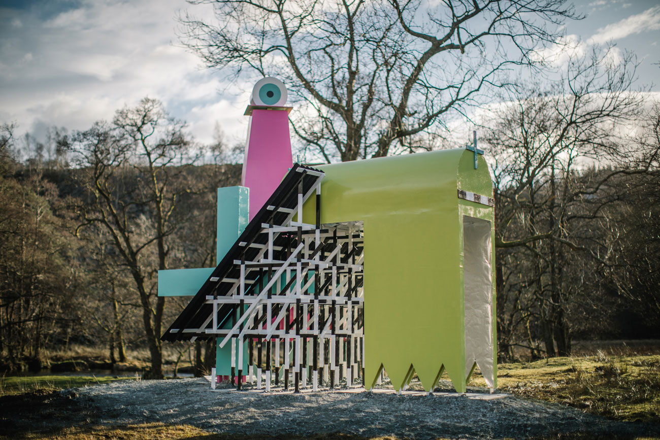
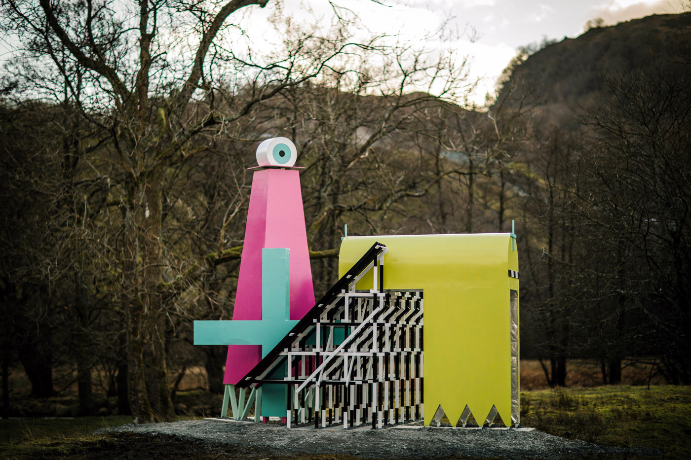
The seemingly utilitarian cartography of the maps has become a graphic icon in its own right. So elements from the map are scaled up as monumental forms, while the colours are projected from the map into an architectural scale.
Two inhabitable spaces within the piece act as single-person art galleries, one displaying the measured and the other exploring the act of measuring.
The whole piece was designed, built and installed by MUTT.